Exploring Global Cyber Threats Through Interactive Mapping
Cybersecurity is a constant battle fought across borders, industries, and networks. To truly understand the scope of these threats, it’s essential to have tools that
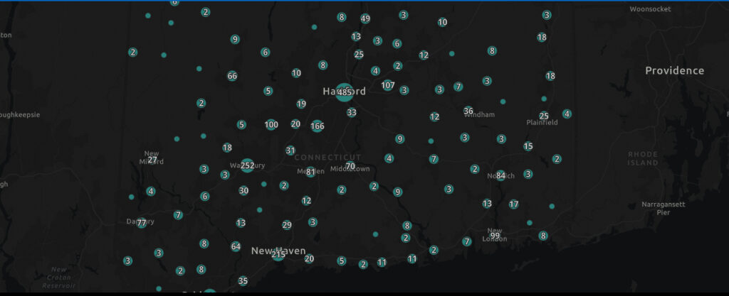
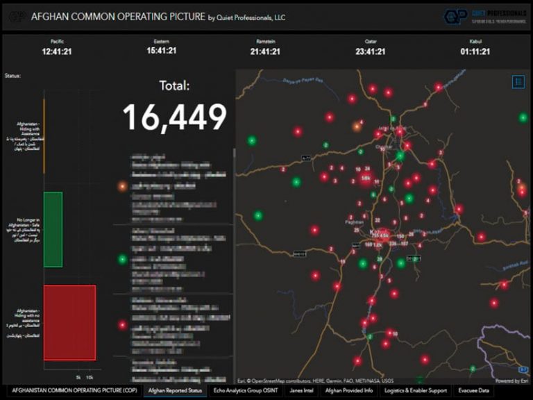
Signals GIS is a real-time data streaming and analytics platform that integrates and analyzes data from open-source, commercial, IoT, and proprietary sources. Using artificial intelligence, machine learning, and natural language processing, it transforms complex inputs into clear, actionable intelligence. Built for secure, scalable, and flexible deployments, Signals GIS provides a streamlined interface that supports collaboration and decision-making at mission speed.
The Signals GIS architecture and framework refines, processes and applies AI/ML while leveraging publicly and commercially available advanced analytics. That data, visualized through lightweight geospatial web apps and core desktop products, gives you a clear picture and supports decision-making at crucial moments.
With Signals GIS and Quiet Professionals, everything is customized to fit your needs.
Track and analyze data in real time to identify enemy movements, cyberattacks, or terrorist activity—enhancing situational awareness and accelerating threat response.
Monitor sensors, surveillance systems, and wearables to detect anomalies and trigger alerts—safeguarding deployed personnel and improving field security.
Deliver live situational awareness to support mission planning, resource allocation, and operational adaptability in dynamic environments.
Monitor natural disasters, humanitarian crises, or attacks in real time. Analyze impact, coordinate response, and inform decisions to save lives and infrastructure.
Fuse geospatial, signals, human, and open-source intelligence to uncover patterns and deliver actionable insights for both tactical and strategic operations.
Signals GIS is one of several interoperable modules in Quiet Professionals’ Signals suite—a modular system designed to support decision-making with real-time data, geospatial intelligence, and behavioral analysis.
Our modular Signals GIS architecture supports real-time data integration from IoT devices, sensors, and platforms—enabling mission-ready analytics wherever they’re needed. Choose from flexible deployment tiers or build a custom solution tailored to your operational environment.

Cybersecurity is a constant battle fought across borders, industries, and networks. To truly understand the scope of these threats, it’s essential to have tools that

At Quiet Professionals, we use Signals OSINT and Signals GIS to turn complex data into actionable insights. Signals OSINT integrates real-time data from multiple sources, providing

Tampa, FL, May 02, 2024 – Quiet Professionals (QP), a leader in data integration and intelligence-based products, has announced a significant partnership agreement with URSA

Tampa, FL (Monday, March 7, 2022) – Quiet Professionals, LLC, received the Federal Small Business Award as Partner of the Year at the 2022 Esri

Quiet Professionals is proud to announce their appearance in Esri’s Winter 2022 ArcUser magazine. The article, “Offering Hope to Those Left Behind in Afghanistan,”

Tampa Bay as a Defense & Commercial Innovation Hub Tampa-based defense contractor Quiet Professionals, LLC has joined forces with Synapse Florida to strategically position Tampa Bay