Exploring Global Cyber Threats Through Interactive Mapping
Cybersecurity is a constant battle fought across borders, industries, and networks. To truly understand the scope of these threats, it’s essential to have tools that

Sentinel is a Signals GIS solution that delivers comprehensive real-time IoT capability by integrating mobile devices, smartwatches, and vehicle sensors. Sentinel transforms live location data into mission-ready insight—helping users monitor movement, detect anomalies, and respond decisively in dynamic environments.
Sentinel enables teams to visualize movement, identify risk patterns, and act with precision across dynamic environments. Features include:

Gain real-time visibility into movement patterns to detect anomalies, track personnel, and make faster, more informed decisions in the field.

Use smartphones, smartwatches, and vehicle sensors to collect real-time data and trigger mission alerts—enabling flexible, field-ready tracking across teams.

See what matters at a glance. Tailor dashboards to highlight key movement, alerts, and mission data—supporting rapid response and situational clarity.
From crisis response to route audits, Sentinel supports real-time decision-making with lightweight, field-ready tools. The platform is flexible, secure, and deployable across desktop, mobile, and mission-forward settings—enabling coordinated response and continuous awareness at all levels.
Track the location, status, and movement of deployed personnel across high-risk zones or mission-critical areas.
Visualize and respond to real-time movement of personnel and vehicles to support planning, routing, and logistics—on the ground and on the fly.
Enable rapid assessment and coordination during emergencies or disaster scenarios with real-time location data and mobile alerts.
Identify loitering, grouping, or irregular movement near sensitive infrastructure or secure areas.
Bridge tactical edge and command-level decision-making through live dashboards and map-based intelligence views.

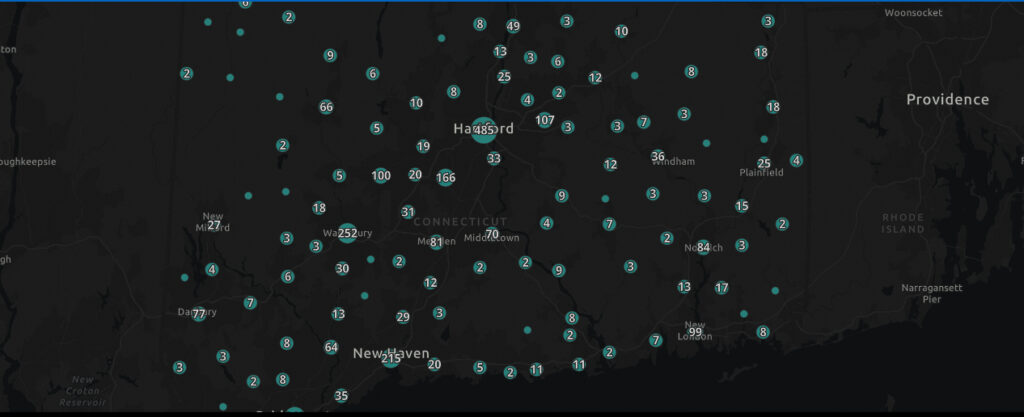
Cybersecurity is a constant battle fought across borders, industries, and networks. To truly understand the scope of these threats, it’s essential to have tools that

At Quiet Professionals, we use Signals OSINT and Signals GIS to turn complex data into actionable insights. Signals OSINT integrates real-time data from multiple sources, providing

Tampa, FL, May 02, 2024 – Quiet Professionals (QP), a leader in data integration and intelligence-based products, has announced a significant partnership agreement with URSA

Tampa, FL (Monday, March 7, 2022) – Quiet Professionals, LLC, received the Federal Small Business Award as Partner of the Year at the 2022 Esri

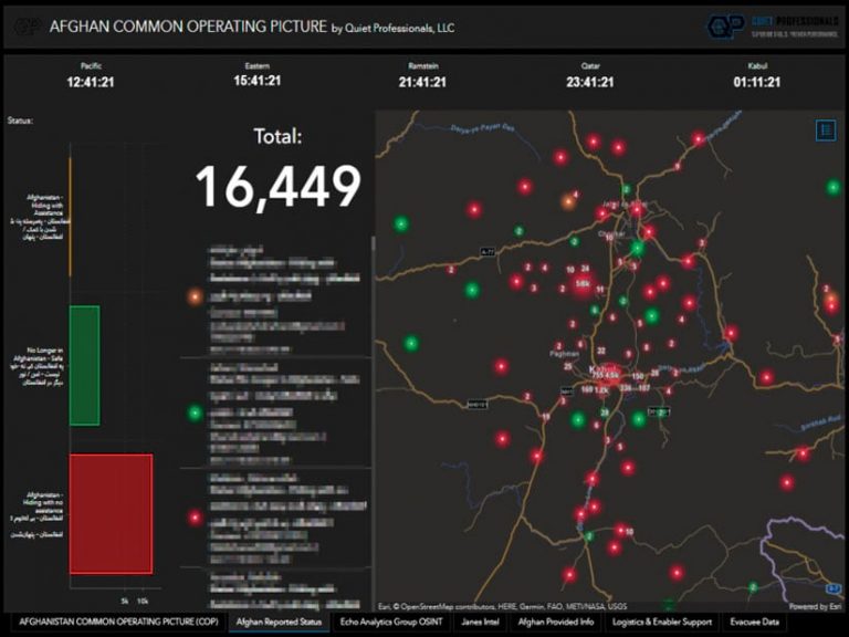
Quiet Professionals is proud to announce their appearance in Esri’s Winter 2022 ArcUser magazine. The article, “Offering Hope to Those Left Behind in Afghanistan,”

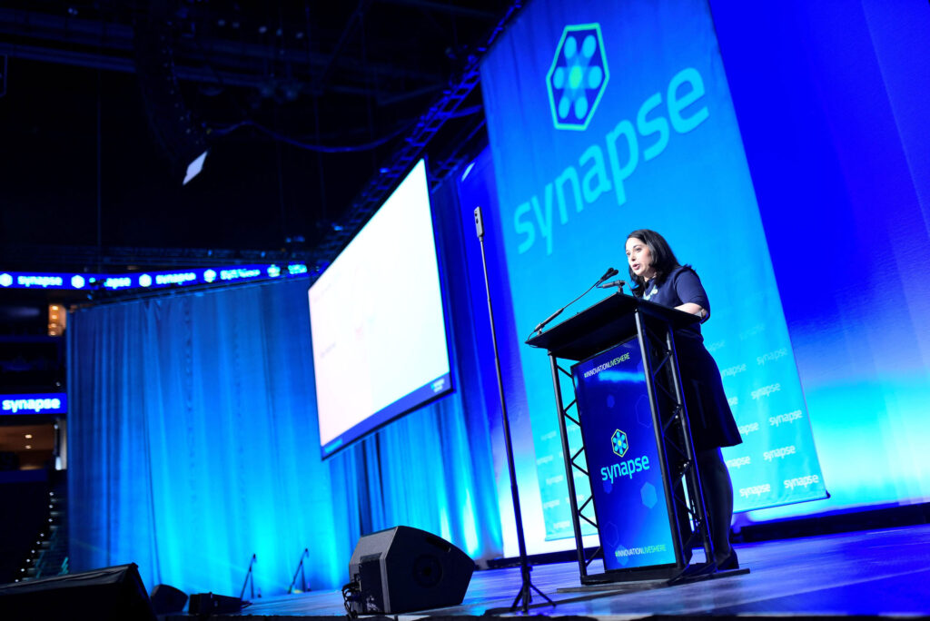
Tampa Bay as a Defense & Commercial Innovation Hub Tampa-based defense contractor Quiet Professionals, LLC has joined forces with Synapse Florida to strategically position Tampa Bay